If you’ve ever tried navigating Sydney’s Central station for the first time, you know how daunting it can be. While there are signs, not all the sections of the station will make sense, especially if you’re going from the bottom with metro lines to the top of the train station with lines that takes you outside of Sydney.
Simply put, you’ll get there in the end, but it mightn’t be as easy for everyone as you might think.
We’ve not explored the entire Sydney rail network, but that could be made less of a problem across the TransportNSW network all the same, thanks in part to some changes Google has been making, worked on in collaboration with Transport for NSW.
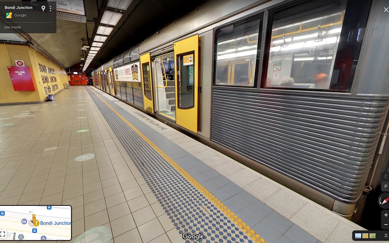
This week, Google is adding Street View to over 100 train stations in Sydney, offering not just a way for people to peek inside the transit hub for Australia’s biggest city, but also a way to see where they need to go to get from point A to point B before they get there. It’s coming as an addition to Google Street View, which has been the world over, including out of this world on the International Space Station, and is now making its way around the Sydney train station network, including Central, Redfern, Bondi Junction, Olympic Park, Wynyard, and 125 other stations.
While the visual maps approach that Street View delivers is one part of the upgrade to help you navigate the train network, Google is also bringing detailed directions to 70 train and metro stations across Sydney to let you find and work out your way. You’ll find this under “Directions” in Google Maps, with these including route options under public transport, such as “less walking”, “fewer transfers”, and “wheelchair accessible”, to name a few.
What’s more, Google will be allowing access to the instructions through the NSW government’s Open Data Portal, which means other apps for transport could soon support the same instructions, giving more people access to making the transit network a little easier.